
Last updated: 2026-11-11
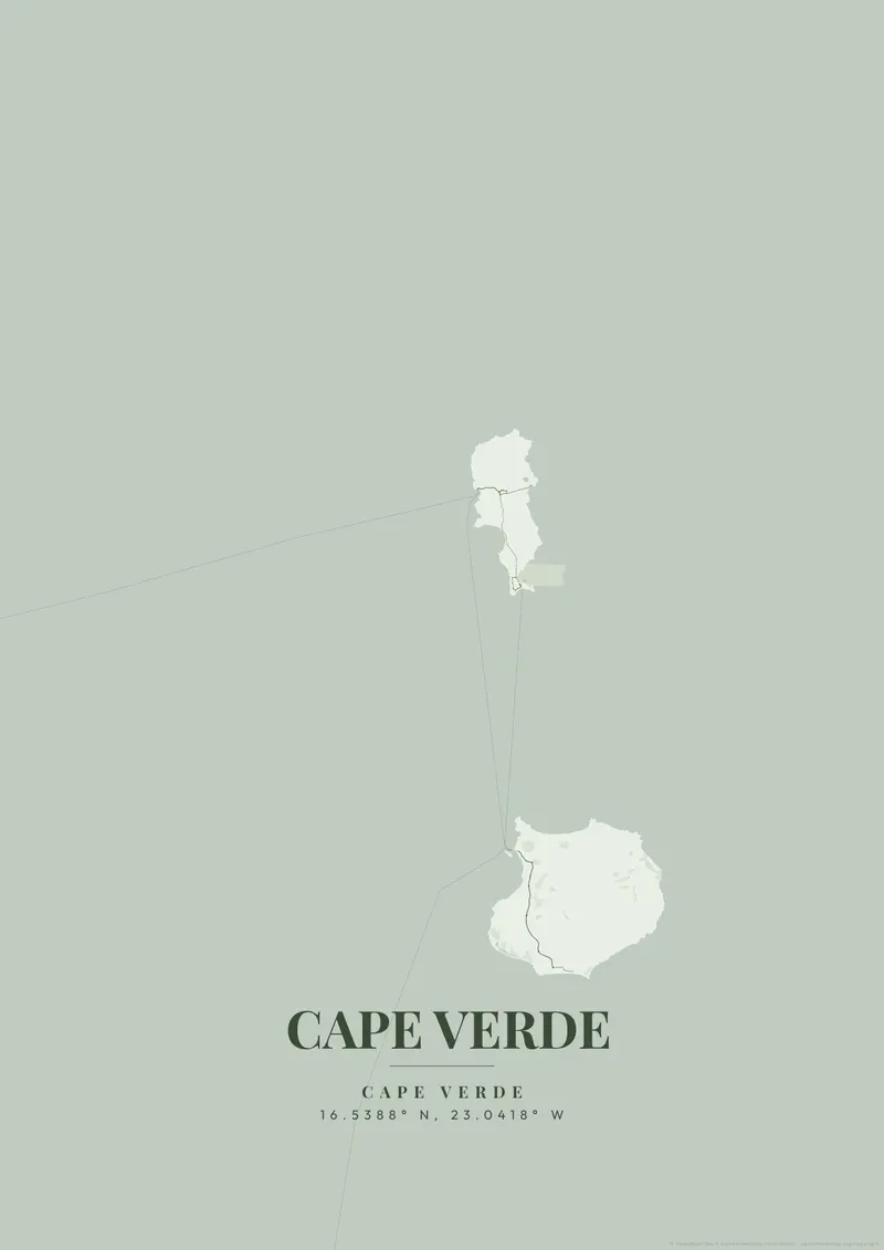
Cape Verde City Map Poster
Start Your Cape Verde PosterOrder this print
Free to design · Printed posters from $24.99, shipping included to 20 countries
The map of Praia, the capital of Cape Verde, presents a breathtaking, hostile geography perched atop a series of flat-topped volcanic plateaus (Achadas). These isolated plateaus drop completely down into deep, dry ravines before plunging straight into the crashing waves of the Atlantic.
Cape Verde from above
The historic center, the 'Platô', forms a remarkably clear, isolated rectangular grid sitting defensively high up on the cliffs, heavily disconnected from the sprawling valleys below. Vibrant, dry, sun-baked oranges, stark volcanic black, or brilliant, isolated ocean teals represent this beautiful, resilient island nation.
Praia lies on the southern coast of Santiago, the largest island of Cape Verde, and its neighborhoods take their names from the landforms beneath them. The Platô holds the old administrative core above the bay, while Achada Santo António spreads across the next plateau to the southwest, with the beaches of Prainha and Quebra Canela along the shore below it. The Ribeira da Trindade reaches the sea between the Platô and the harbor, and Nelson Mandela International Airport lies a few kilometers northeast of the center. About 15 kilometers west along the coast, Cidade Velha, the former capital and a UNESCO World Heritage Site, sits at the mouth of its own valley. A close frame on the Platô shows its compact blocks bounded by steep slopes. A wider frame of the coast shows the city spread across separate tablelands divided by valleys, rather than as one continuous fabric.
Cape Verde at a glance
- Where: Cape Verde, at 16.54° N, 23.04° W.
- Nearest cities with a page: Dakar (630 km), Marrakech (2260 km), Casablanca (2450 km).
Printed and shipped to your door
Design your Cape Verde map poster for free, then order it printed from the same editor. Posters print at 300 DPI on 170 gsm silk paper (A4 on 350 gsm card), and tracked shipping to 20 countries is included in every price. Each print is made to order within 3 business days, then usually arrives 3 to 6 business days after it ships (longer to Canada, Australia, Norway, New Zealand, Japan, Brazil and Mexico).
| Size | Dimensions | Poster |
|---|---|---|
| A4 | 8.3 × 11.7″ | $24.99 |
| 12 × 18″ | 30 × 46 cm | $34.99 |
| 16 × 20″ | 41 × 51 cm | $39.99 |
| 18 × 24″ | 46 × 61 cm | $44.99 |
| 12 × 12″ | 30 × 30 cm | $29.99 |
| 20 × 20″ | 50 × 50 cm | $44.99 |
Also framed (black, white or oak) from $79.99, on canvas from $69.99. Prices in USD, shipping included; checkout switches to EUR or GBP based on where you are. A print that arrives damaged is reprinted or refunded for free.
Frequently Asked Questions
Can I order a printed Cape Verde map poster?
Yes. Design your Cape Verde poster, then choose Order this print in the editor: a poster from $24.99, framed or on canvas, with tracked shipping to 20 countries included.
Is the Cape Verde map poster really free?
You can design and download a Cape Verde map poster at 1080p with a small watermark at no cost. High-resolution versions (up to 7200px) without watermark are a one-time $6.99, and printed posters from $24.99 with shipping included. No subscription or account required.