
Last updated: 2026-11-11
Amalfi City Map Poster
Start Your Amalfi PosterOrder this print
Free to design · Printed posters from $24.99, shipping included to 20 countries
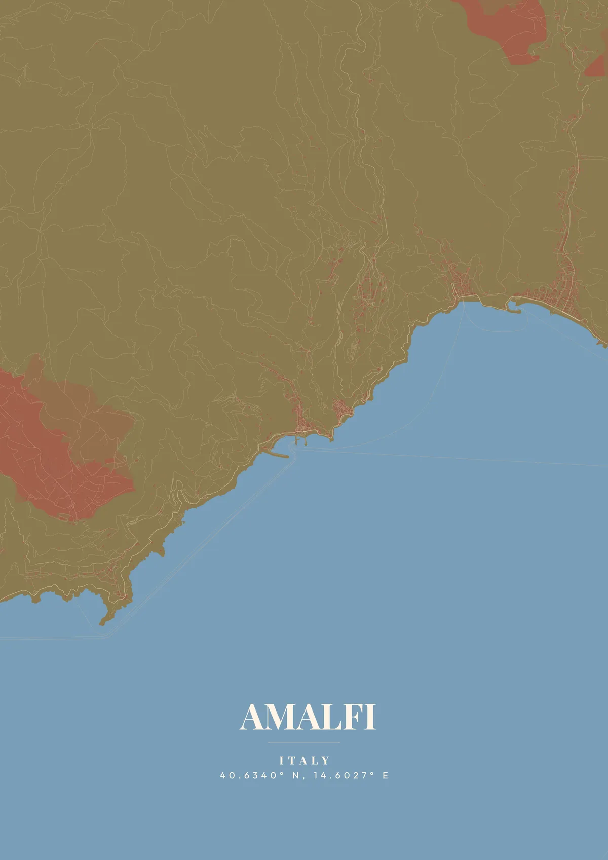
Amalfi clings to the cliffs of the Sorrentine Peninsula like a cascade of pastel-colored houses tumbling toward the Tyrrhenian Sea. The town's map reveals a remarkably compact medieval core, with the grand Duomo di Sant'Andrea dominating the central Piazza del Duomo. Narrow staircases and winding alleys thread upward through terraced lemon groves and centuries-old buildings. The coastal road, the legendary SS163 Amalfitana, snakes along impossible cliffs, connecting Amalfi to Positano, Ravello, and the other jewels of this UNESCO-listed coastline.
Amalfi from above
Once a powerful maritime republic rivaling Venice, Genoa, and Pisa, Amalfi's influence stretched across the medieval Mediterranean. The Tabula Amalfitana, one of the oldest maritime codes, was written here. Today the town draws visitors for its dramatic vertical geography, its limoncello culture, and the Valle delle Ferriere nature reserve hidden in the hills above. Mediterranean azure, warm terracotta, or sun-bleached lemon yellow perfectly capture the dizzying, light-drenched beauty of this coastal masterpiece.
The town occupies a single steep valley, and its main street climbs inland along the valley floor from Piazza del Duomo toward the hills. Higher up the same valley, the Valle dei Mulini held the paper mills that made Amalfi known for handmade paper, and one of them now houses a paper museum. At the seafront, vaulted halls of the medieval arsenal survive near the harbor and its breakwater. Just east, across a short headland, lies Atrani, a separate village with its own small piazza and beach, and above both rise the hamlet of Pontone and the ridge town of Ravello. A close zoom shows the valley's narrow street network and staircases; widening the frame adds Atrani, Ravello and the coastline toward Positano.
Amalfi at a glance
- Where: Salerno, Campania, Italy, at 40.63° N, 14.60° E.
- Mapped area: Amalfi's boundary in OpenStreetMap spans about 3 km north to south and 4 km east to west.
- Nearest cities with a page: Naples (37 km), Matera (170 km), Rome (230 km).
Printed and shipped to your door
Design your Amalfi map poster for free, then order it printed from the same editor. Posters print at 300 DPI on 170 gsm silk paper (A4 on 350 gsm card), and tracked shipping to 20 countries is included in every price. Each print is made to order within 3 business days, then usually arrives 3 to 6 business days after it ships (longer to Canada, Australia, Norway, New Zealand, Japan, Brazil and Mexico).
| Size | Dimensions | Poster |
|---|---|---|
| A4 | 8.3 × 11.7″ | $24.99 |
| 12 × 18″ | 30 × 46 cm | $34.99 |
| 16 × 20″ | 41 × 51 cm | $39.99 |
| 18 × 24″ | 46 × 61 cm | $44.99 |
| 12 × 12″ | 30 × 30 cm | $29.99 |
| 20 × 20″ | 50 × 50 cm | $44.99 |
Also framed (black, white or oak) from $79.99, on canvas from $69.99. Prices in USD, shipping included; checkout switches to EUR or GBP based on where you are. A print that arrives damaged is reprinted or refunded for free.
Frequently Asked Questions
Can I order a printed Amalfi map poster?
Yes. Design your Amalfi poster, then choose Order this print in the editor: a poster from $24.99, framed or on canvas, with tracked shipping to 20 countries included.
Can I print a Amalfi map poster at home?
Yes. Download your Amalfi poster and print on thick matte or glossy photo paper. The standard version works well up to 8×10″, and the high-resolution export is sharp up to 18 × 24″ or A2. Or let us print it: printed posters from $24.99 with shipping included, framed or on canvas too.