Last updated: 2026-11-11
Rome Map Poster

Create Your Rome Map NowOrder this print
Free to design · Printed posters from $24.99, shipping included to 20 countries
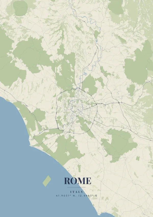
Ancient history collides with winding cobblestone streets in this capital, completely ignoring any sense of a modern grid. The unmistakable, large oval footprint of the Colosseum anchors the historic center, while the independent micro-state of Vatican City lies across the Tiber River to the west.
Rome on the map
Passionate AS Roma and Lazio supporters fill the Stadio Olimpico with thunderous roars on match days, perfectly echoing the gladiatorial history of the city. A warm terracotta, deep marble white, or classic emperor purple palette will beautifully showcase the Eternal City in your home.
What makes Rome's map so endlessly fascinating is its total refusal to follow straight lines. Every street curves around the ruins of something ancient, from the sprawling Forum complex to the towering Pantheon dome hidden in a web of narrow alleyways. The seven hills that defined the original city are still visible in the contour of the roads, Aventine, Palatine, Capitoline, each carrying 2,700 years of layered history that no grid city could ever replicate.
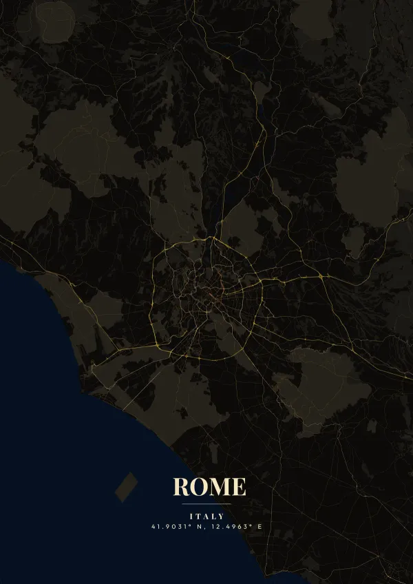
The Tiber does not run straight through Rome; it bends in a pair of tight curves, and the densest part of the old city fills the loop of Campo Marzio around Piazza Navona. Just downstream, Tiber Island splits the river in two, and across from it Trastevere spreads along the west bank beneath the long ridge of the Janiculum. To the north, Piazza del Popolo sends three straight streets, Via del Corso, Via di Ripetta and Via del Babuino, fanning south into the center, with the gardens of Villa Borghese on the rise above. The Aurelian Walls still trace a ring around much of the historic city, and Via Appia Antica leaves through the southeast toward the Alban Hills. A close frame on the river bends shows the medieval street web; pulling back adds Termini station, the 1930s grid of EUR, and the Grande Raccordo Anulare ring road.
Rome at a glance
- Where: Roma Capitale, Lazio, Italy, at 41.90° N, 12.50° E.
- Mapped area: Rome's boundary in OpenStreetMap spans about 54 km north to south and 51 km east to west.
- Nearest cities with a page: Siena (180 km), Naples (190 km), Amalfi (230 km).
Printed and shipped to your door
Design your Rome map poster for free, then order it printed from the same editor. Posters print at 300 DPI on 170 gsm silk paper (A4 on 350 gsm card), and tracked shipping to 20 countries is included in every price. Each print is made to order within 3 business days, then usually arrives 3 to 6 business days after it ships (longer to Canada, Australia, Norway, New Zealand, Japan, Brazil and Mexico).
| Size | Dimensions | Poster |
|---|---|---|
| A4 | 8.3 × 11.7″ | $24.99 |
| 12 × 18″ | 30 × 46 cm | $34.99 |
| 16 × 20″ | 41 × 51 cm | $39.99 |
| 18 × 24″ | 46 × 61 cm | $44.99 |
| 12 × 12″ | 30 × 30 cm | $29.99 |
| 20 × 20″ | 50 × 50 cm | $44.99 |
Also framed (black, white or oak) from $79.99, on canvas from $69.99. Prices in USD, shipping included; checkout switches to EUR or GBP based on where you are. A print that arrives damaged is reprinted or refunded for free.
Frequently Asked Questions
Can I order a printed Rome map poster?
Yes. Design your Rome poster, then choose Order this print in the editor: a poster from $24.99, framed or on canvas, with tracked shipping to 20 countries included.
What file formats can I download?
Standard downloads are PNG at 1080p. The $6.99 high-resolution export unlocks up to 7200px in PNG, JPEG, WebP and PDF at 300 DPI, plus SVG vector files with the artistic themes.