Last updated: 2026-11-11
Design a Chicago Map Poster

Start Your Chicago PosterOrder this print
Free to design · Printed posters from $24.99, shipping included to 20 countries
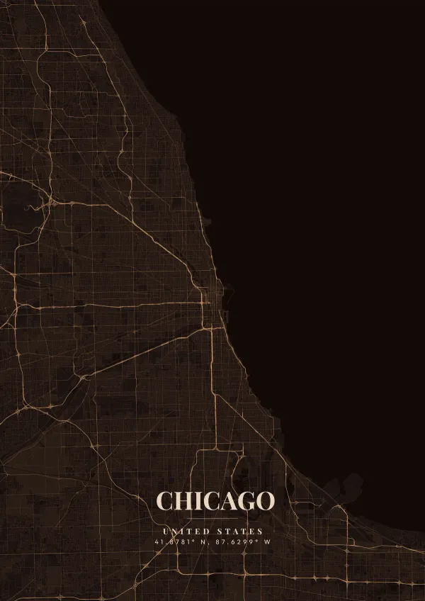
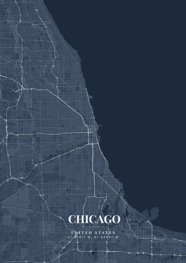
Chicago is a textbook grid city. Its compass-aligned streets go back to the 1830 town plat and run for miles across the flat prairie, numbered from the zero point at State and Madison. After the Great Fire of 1871 burned the heart of the city, it was rebuilt on that same grid. On the map, the long shoreline of Lake Michigan forms a wide blue edge against the dense street pattern.
Chicago — the city's layout
The Chicago River, famously reversed by engineers in 1900, forms a Y-shape whose main stem and South Branch edge the north and west sides of the downtown Loop, crossed by dozens of bascule bridges. A map capturing this dense, soaring architectural core boxed in by the large lake is an iconic image. Bold, stark monochromatic themes, deep steel greys, or rich oceanic blues reflect the muscular, architectural genius of Chicago.
Chicago's grid follows a mile measure of eight blocks, but several older roads cut across it on diagonals, including Milwaukee, Ogden, Archer and Lincoln avenues. The elevated tracks of the Loop wrap a rectangle of downtown streets, giving the district its name, while the river's main stem and branches bound the Loop on the north and west. Along the lakefront, a nearly continuous band of parks runs from Lincoln Park in the north through Grant Park to Jackson Park, with Lake Shore Drive tracing the shoreline. Navy Pier and Northerly Island break into the lake near downtown. The Midway Plaisance links Jackson Park to Washington Park beside the University of Chicago. Southwest, the Sanitary and Ship Canal leads toward the Des Plaines River. A close frame on the Loop shows the bridges and elevated tracks; zooming out reveals the diagonals crossing the grid.
Chicago at a glance
- Where: Cook County, Illinois, United States, at 41.88° N, 87.63° W.
- Mapped area: Chicago's boundary in OpenStreetMap spans about 42 km north to south and 34 km east to west.
- Nearest cities with a page: Milwaukee (130 km), Ann Arbor (320 km), Detroit (380 km).
Printed and shipped to your door
Design your Chicago map poster for free, then order it printed from the same editor. Posters print at 300 DPI on 170 gsm silk paper (A4 on 350 gsm card), and tracked shipping to 20 countries is included in every price. Each print is made to order within 3 business days, then usually arrives 3 to 6 business days after it ships (longer to Canada, Australia, Norway, New Zealand, Japan, Brazil and Mexico).
| Size | Dimensions | Poster |
|---|---|---|
| A4 | 8.3 × 11.7″ | $24.99 |
| 12 × 18″ | 30 × 46 cm | $34.99 |
| 16 × 20″ | 41 × 51 cm | $39.99 |
| 18 × 24″ | 46 × 61 cm | $44.99 |
| 12 × 12″ | 30 × 30 cm | $29.99 |
| 20 × 20″ | 50 × 50 cm | $44.99 |
Also framed (black, white or oak) from $79.99, on canvas from $69.99. Prices in USD, shipping included; checkout switches to EUR or GBP based on where you are. A print that arrives damaged is reprinted or refunded for free.
Frequently Asked Questions
Can I order a printed Chicago map poster?
Yes. Design your Chicago poster, then choose Order this print in the editor: a poster from $24.99, framed or on canvas, with tracked shipping to 20 countries included.
Can I print a Chicago map poster at home?
Yes. Download your Chicago poster and print on thick matte or glossy photo paper. The standard version works well up to 8×10″, and the high-resolution export is sharp up to 18 × 24″ or A2. Or let us print it: printed posters from $24.99 with shipping included, framed or on canvas too.