Last updated: 2026-11-11
Design a New York Map Poster

Design Your New York PosterOrder this print
Free to design · Printed posters from $24.99, shipping included to 20 countries
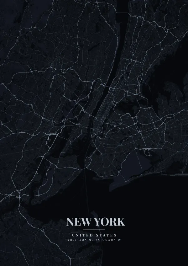
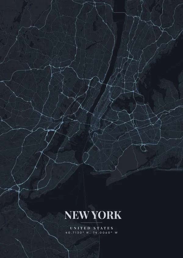
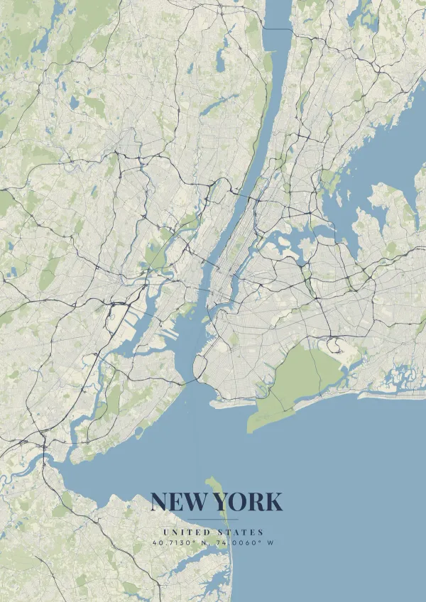
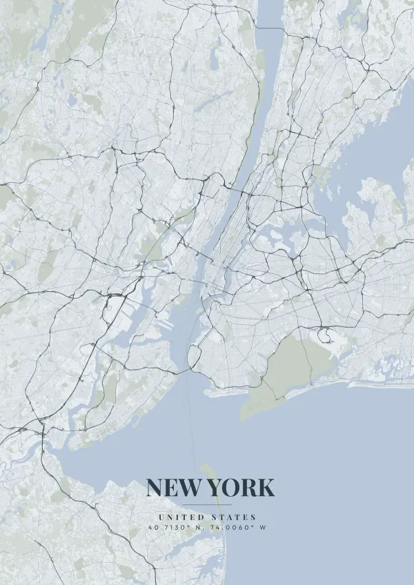
Manhattan's impossibly dense, towering grid anchors the center of a New York map, interrupted only by the perfect green rectangle of Central Park. The sprawling boroughs of Brooklyn, Queens, and the Bronx radiate outward, connected by awe-inspiring suspension bridges spanning the East River.
New York — the city's layout
From catching a Knicks game at Madison Square Garden to gazing at the neon glow of Times Square, New York is defined by beautiful sensory overload. A sleek, taxi-cab yellow color scheme, or a raw, industrial grayscale theme perfectly reflects the unstoppable momentum of the city that never sleeps.
The Commissioners' Plan of 1811 laid the uptown grid of numbered streets and avenues, which is why Lower Manhattan, below roughly Houston Street, stays a tangle of older, irregular lanes, with Greenwich Village keeping its own angled streets. Broadway ignores the grid and runs diagonally across it, and each place it cuts an avenue opens a square: Union Square, Madison Square, Herald Square and Times Square. The Hudson River separates Manhattan from New Jersey, the narrow Harlem River divides it from the Bronx, and the Upper Bay to the south holds Governors Island, Liberty Island and Ellis Island. In Brooklyn, Prospect Park forms a second large green space, while Queens holds Flushing Meadows and the two main airports. Centering on Midtown at a close zoom shows Broadway's slant; zooming out brings in the harbor and Staten Island.
New York at a glance
- Where: United States, at 40.71° N, 74.01° W.
- Mapped area: New York's boundary in OpenStreetMap spans about 49 km north to south and 47 km east to west.
- Nearest cities with a page: Brooklyn (6 km), Philadelphia (130 km), Providence (250 km).
Printed and shipped to your door
Design your New York map poster for free, then order it printed from the same editor. Posters print at 300 DPI on 170 gsm silk paper (A4 on 350 gsm card), and tracked shipping to 20 countries is included in every price. Each print is made to order within 3 business days, then usually arrives 3 to 6 business days after it ships (longer to Canada, Australia, Norway, New Zealand, Japan, Brazil and Mexico).
| Size | Dimensions | Poster |
|---|---|---|
| A4 | 8.3 × 11.7″ | $24.99 |
| 12 × 18″ | 30 × 46 cm | $34.99 |
| 16 × 20″ | 41 × 51 cm | $39.99 |
| 18 × 24″ | 46 × 61 cm | $44.99 |
| 12 × 12″ | 30 × 30 cm | $29.99 |
| 20 × 20″ | 50 × 50 cm | $44.99 |
Also framed (black, white or oak) from $79.99, on canvas from $69.99. Prices in USD, shipping included; checkout switches to EUR or GBP based on where you are. A print that arrives damaged is reprinted or refunded for free.
Frequently Asked Questions
Can I order a printed New York map poster?
Yes. Design your New York poster, then choose Order this print in the editor: a poster from $24.99, framed or on canvas, with tracked shipping to 20 countries included.
Is the New York map poster really free?
You can design and download a New York map poster at 1080p with a small watermark at no cost. High-resolution versions (up to 7200px) without watermark are a one-time $6.99, and printed posters from $24.99 with shipping included. No subscription or account required.