
Last updated: 2026-11-11
Istanbul, Turkey Map Poster
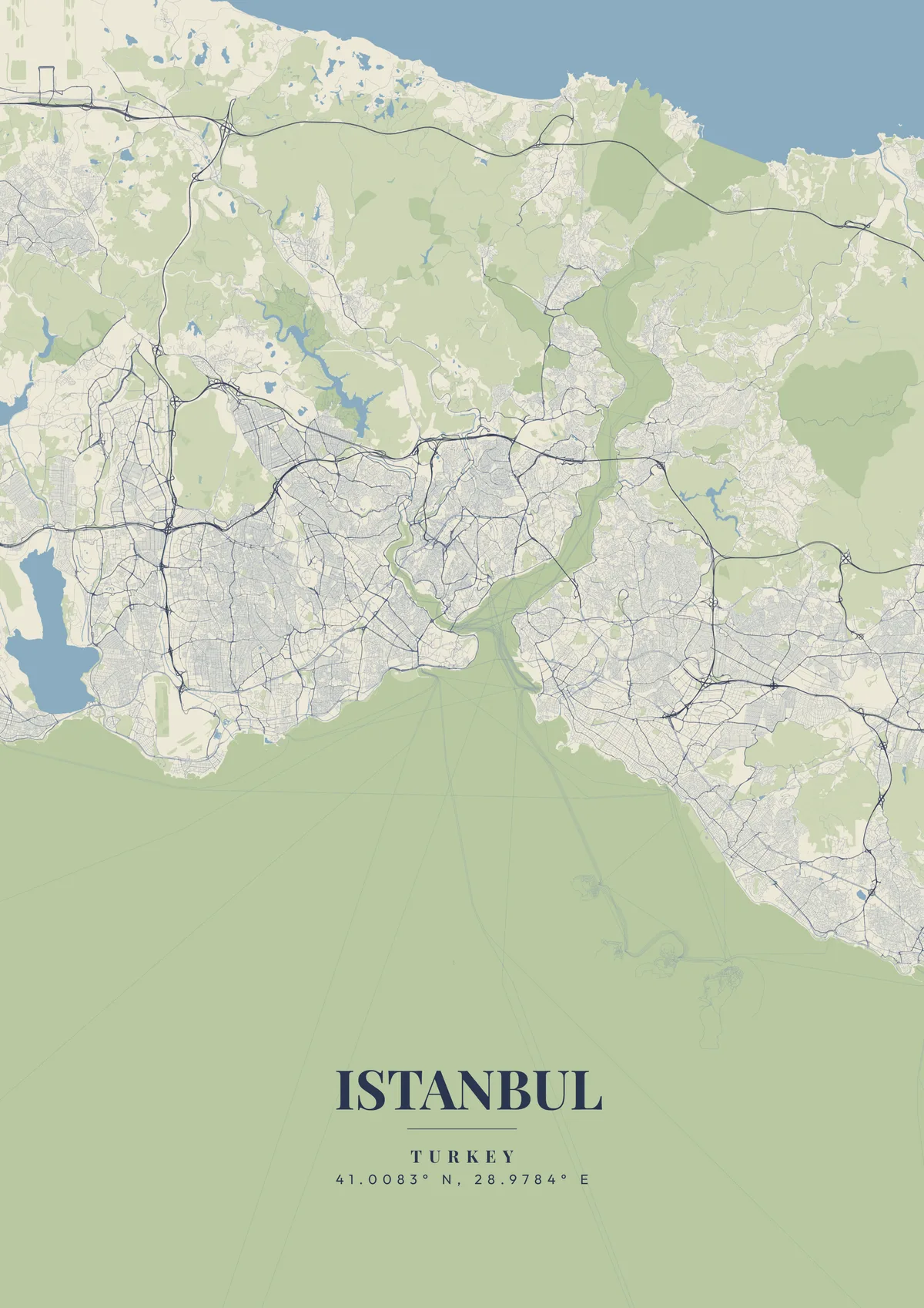
Start Your Istanbul PosterOrder this print
Free to design · Printed posters from $24.99, shipping included to 20 countries
Istanbul is the world's only major city spanning two continents, Europe and Asia, divided by the Bosphorus Strait (about 31 km long and 0.7 to 3.7 km wide). The city has three distinct water boundaries: the Bosphorus (running north to south, about 31 km), the Golden Horn (a 7.5km natural estuary bisecting the European side into Beyoğlu and historic Sultanahmet), and the Sea of Marmara (southern boundary). Three suspension bridges cross the Bosphorus, including the 15 Temmuz Şehitler Bridge (1,074m main span).
The streets of Istanbul
Istanbul was consecutively capital of the Roman, Byzantine, and Ottoman empires, a capital for some 1,600 years, from 330 to 1923. The Hagia Sophia (completed 537 AD) was the world's largest domed building for nearly 1,000 years. The Grand Bazaar (1461) is one of the world's oldest and largest covered markets, with over 4,000 shops. For a map poster, centering on the Bosphorus with Europe on the left, Asia on the right, and the historic Sultanahmet peninsula in the foreground, creates one of the world's most uniquely compelling geographical compositions. Ottoman turquoise, deep Bosphorus blue, or rich terracotta themes honor Istanbul's extraordinary position at the crossroads of civilizations.
Two bridges, Galata and Atatürk, cross the Golden Horn between the old city and Beyoğlu, where İstiklal Avenue runs from Taksim Square down to Tünel near the Galata Tower. On the historic peninsula, Topkapı Palace occupies Sarayburnu, the point where the Golden Horn meets the Bosphorus, and the Theodosian Walls cut straight across the peninsula's landward side from the Golden Horn to the Sea of Marmara. The Asian shore has its own centers at Üsküdar, opposite the old city, and Kadıköy, a little further south facing the mouth of the Bosphorus. North along the European shore, the business towers of Levent and Maslak sit well back from the water, and the Belgrad Forest covers the hills beyond. A close frame on Sarayburnu shows three waterways meeting; zooming out adds the Princes' Islands scattered in the Marmara to the southeast.
Istanbul at a glance
- Where: Fatih, Marmara Region, Turkey, at 41.01° N, 28.98° E.
- Mapped area: Istanbul's boundary in OpenStreetMap spans about 36 km north to south and 27 km east to west.
- Nearest cities with a page: Bucharest (450 km), Sofia (500 km), Thessaloniki (510 km).
Printed and shipped to your door
Design your Istanbul map poster for free, then order it printed from the same editor. Posters print at 300 DPI on 170 gsm silk paper (A4 on 350 gsm card), and tracked shipping to 20 countries is included in every price. Each print is made to order within 3 business days, then usually arrives 3 to 6 business days after it ships (longer to Canada, Australia, Norway, New Zealand, Japan, Brazil and Mexico).
| Size | Dimensions | Poster |
|---|---|---|
| A4 | 8.3 × 11.7″ | $24.99 |
| 12 × 18″ | 30 × 46 cm | $34.99 |
| 16 × 20″ | 41 × 51 cm | $39.99 |
| 18 × 24″ | 46 × 61 cm | $44.99 |
| 12 × 12″ | 30 × 30 cm | $29.99 |
| 20 × 20″ | 50 × 50 cm | $44.99 |
Also framed (black, white or oak) from $79.99, on canvas from $69.99. Prices in USD, shipping included; checkout switches to EUR or GBP based on where you are. A print that arrives damaged is reprinted or refunded for free.
Frequently Asked Questions
Can I order a printed Istanbul map poster?
Yes. Design your Istanbul poster, then choose Order this print in the editor: a poster from $24.99, framed or on canvas, with tracked shipping to 20 countries included.
What themes are available?
MapPoster has 50+ themes: 50+ artistic vector styles, including classic city maps with street names (Minimal White, Midnight Dark, Modern Voyager), plus OpenStreetMap and satellite map tiles. Artistic themes render every road and waterway in custom color palettes — from moody dark tones to bright pastels.