
Last updated: 2026-11-11
Design an Ubud Map Poster
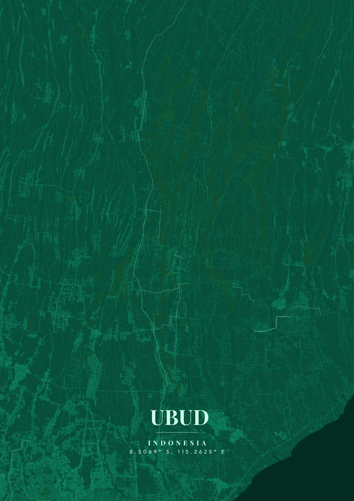
Design Your Ubud PosterOrder this print
Free to design · Printed posters from $24.99, shipping included to 20 countries
Ubud sits in the lush highlands of central Bali, surrounded by emerald rice terraces that cascade down river valleys in the ancient subak irrigation system, an UNESCO World Heritage cultural landscape. The town's map reveals a compact center around Jalan Raya Ubud and the Ubud Royal Palace, from which narrow roads radiate outward through villages that each specialize in a different art form: Mas for woodcarving, Celuk for silver, Batuan for painting. The Sacred Monkey Forest Sanctuary occupies a dense patch of ancient jungle at the southern edge, while the dramatic Campuhan Ridge Walk traces a narrow path between two river valleys.
Ubud — the city's layout
Ubud became the center of Balinese arts in the 1930s when European artists Walter Spies and Rudolf Bonnet collaborated with local masters to create new artistic movements. Today, the town hosts dozens of galleries and daily dance performances at the Royal Palace. The Tegallalang Rice Terraces to the north are among the most photographed landscapes in Southeast Asia. For a map poster, the organic curves of rice paddies and river gorges create uniquely beautiful cartographic patterns. Tropical green, warm gold, or deep jungle emerald perfectly capture Ubud's spiritual, artistic essence.
Roads around Ubud follow the land: several rivers run south from the mountains in deep gorges, so the main routes run north to south along the ridges between them, with only a few crossings linking one ridge to the next. From the palace and the market opposite it, Jalan Monkey Forest heads south to the sanctuary, with Jalan Hanoman running parallel to the east. West of the center, Penestanan and, further on, Sayan sit above the Ayung River, whose valley is the deepest on the map. Peliatan lies to the southeast, and Goa Gajah, the cave temple near Bedulu, is a short way east. Where the gorges cut through, the street map shows long blank strips of forest and paddy between the lines of houses. A close zoom on the palace crossroads shows the town's few dense blocks; a wider frame reveals the finger-like ridges spreading north toward Tegallalang.
Ubud at a glance
- Where: Bali, Lesser Sunda Islands, Indonesia, at 8.51° S, 115.26° E.
- Mapped area: Ubud's boundary in OpenStreetMap spans about 9 km north to south and 9 km east to west.
- Nearest cities with a page: Bali (14 km), Jakarta (960 km), Singapore (1680 km).
Printed and shipped to your door
Design your Ubud map poster for free, then order it printed from the same editor. Posters print at 300 DPI on 170 gsm silk paper (A4 on 350 gsm card), and tracked shipping to 20 countries is included in every price. Each print is made to order within 3 business days, then usually arrives 3 to 6 business days after it ships (longer to Canada, Australia, Norway, New Zealand, Japan, Brazil and Mexico).
| Size | Dimensions | Poster |
|---|---|---|
| A4 | 8.3 × 11.7″ | $24.99 |
| 12 × 18″ | 30 × 46 cm | $34.99 |
| 16 × 20″ | 41 × 51 cm | $39.99 |
| 18 × 24″ | 46 × 61 cm | $44.99 |
| 12 × 12″ | 30 × 30 cm | $29.99 |
| 20 × 20″ | 50 × 50 cm | $44.99 |
Also framed (black, white or oak) from $79.99, on canvas from $69.99. Prices in USD, shipping included; checkout switches to EUR or GBP based on where you are. A print that arrives damaged is reprinted or refunded for free.
Frequently Asked Questions
Can I order a printed Ubud map poster?
Yes. Design your Ubud poster, then choose Order this print in the editor: a poster from $24.99, framed or on canvas, with tracked shipping to 20 countries included.
Is the Ubud map poster really free?
You can design and download a Ubud map poster at 1080p with a small watermark at no cost. High-resolution versions (up to 7200px) without watermark are a one-time $6.99, and printed posters from $24.99 with shipping included. No subscription or account required.