
Last updated: 2026-11-11
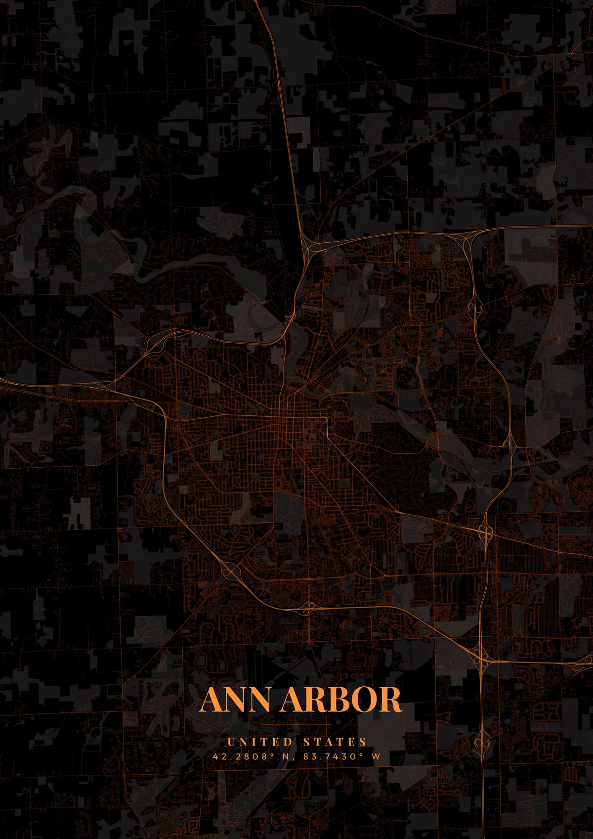
Ann Arbor, United States Map Poster
Design Your Ann Arbor PosterOrder this print
Free to design · Printed posters from $24.99, shipping included to 20 countries
Ann Arbor's map is defined by the sprawling campus of the University of Michigan, which weaves through the city rather than sitting apart from it. The Huron River curves gracefully through the northern part of the city, creating the popular Gallup Park and Nichols Arboretum along its banks. Main Street and State Street form the downtown's commercial spine, lined with independent bookstores, restaurants, and the historic Michigan Theater. The large Michigan Stadium, 'The Big House', seats over 107,000 fans and dominates the athletic campus on the south side as one of the largest stadiums in the world.
The streets of Ann Arbor
Founded in 1824, Ann Arbor consistently ranks among America's most educated and livable cities. The University of Michigan, established in 1817, is one of the world's leading research institutions and shapes virtually every aspect of city life. The annual Ann Arbor Art Fair draws half a million visitors each July, transforming downtown streets into an open-air gallery. The Zingerman's Delicatessen, founded in 1982, has become a nationally renowned food empire. Maize and blue, Michigan's iconic colors, deep library green, or warm red brick tones perfectly capture this quintessential American college town.
North Campus sits on its own across the Huron River, a separate cluster of engineering, music and art buildings well away from the older Central Campus. Central Campus itself centers on the Diag, a diagonal crossing of footpaths just east of State Street. Kerrytown and the farmers market occupy the blocks north of downtown near the river, the Old West Side spreads its small grid of houses west of Main Street, and Burns Park lies southeast of campus. The Amtrak station is on Depot Street, beside the rail line that follows the Huron. Highways nearly encircle the city: US-23 on the east, M-14 to the north and I-94 along the south and west. A tight frame on State Street and the Diag shows the campus-town core; a wider one adds North Campus and the dams on the Huron at Argo and Barton.
Ann Arbor at a glance
- Where: Washtenaw County, Michigan, United States, at 42.28° N, 83.74° W.
- Mapped area: Ann Arbor's boundary in OpenStreetMap spans about 11 km north to south and 10 km east to west.
- Nearest cities with a page: Detroit (58 km), Chicago (320 km), Milwaukee (350 km).
Printed and shipped to your door
Design your Ann Arbor map poster for free, then order it printed from the same editor. Posters print at 300 DPI on 170 gsm silk paper (A4 on 350 gsm card), and tracked shipping to 20 countries is included in every price. Each print is made to order within 3 business days, then usually arrives 3 to 6 business days after it ships (longer to Canada, Australia, Norway, New Zealand, Japan, Brazil and Mexico).
| Size | Dimensions | Poster |
|---|---|---|
| A4 | 8.3 × 11.7″ | $24.99 |
| 12 × 18″ | 30 × 46 cm | $34.99 |
| 16 × 20″ | 41 × 51 cm | $39.99 |
| 18 × 24″ | 46 × 61 cm | $44.99 |
| 12 × 12″ | 30 × 30 cm | $29.99 |
| 20 × 20″ | 50 × 50 cm | $44.99 |
Also framed (black, white or oak) from $79.99, on canvas from $69.99. Prices in USD, shipping included; checkout switches to EUR or GBP based on where you are. A print that arrives damaged is reprinted or refunded for free.
Frequently Asked Questions
Can I order a printed Ann Arbor map poster?
Yes. Design your Ann Arbor poster, then choose Order this print in the editor: a poster from $24.99, framed or on canvas, with tracked shipping to 20 countries included.
How do I add text and coordinates to my Ann Arbor poster?
Use the text overlay panel in the editor to add a title, subtitle, date, and GPS coordinates. You can change fonts, sizes, weight, and position. Ann Arbor's coordinates are pre-filled — just toggle them on.